
Training resources
Not sure where to start? People often learn a lot by spending some time exploring the Viewer data and tools–you can’t break it! However, if you’d rather have a little guidance, these resources will help you get started on your way to becoming a Coastal Viewer guru.
Get the Basics
Use The Clipping Tool
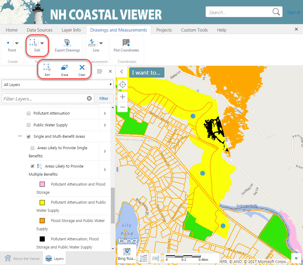
The clipping tool was designed to help Coastal Viewer users customize maps. These resources will show you how to use the Clipping Tool to conduct simple analyses on the datasets.
Clipping Tool Tips
This tool can help you answer questions like:
What is the makeup of soil types within a specific parcel of conservation land?
Make Maps to Protect Drinking Water
This 8-minute video introduces tools and data that can be accessed to explore how conserving land can support the protection of drinking water resources.
Technical Report
Land Conservation Priorities for the Protection of Coastal Water Resources
This analysis was completed by The Nature Conservancy New Hampshire Chapter.
Get Some Practice
These training exercises are designed to help users explore specific applications of the Coastal Viewer related to land conservation. Click on the pictures to download the materials and practice on your own time!

Practice exploring the coastal viewer.
Explore strategic land conservation for the protection of public drinking water.
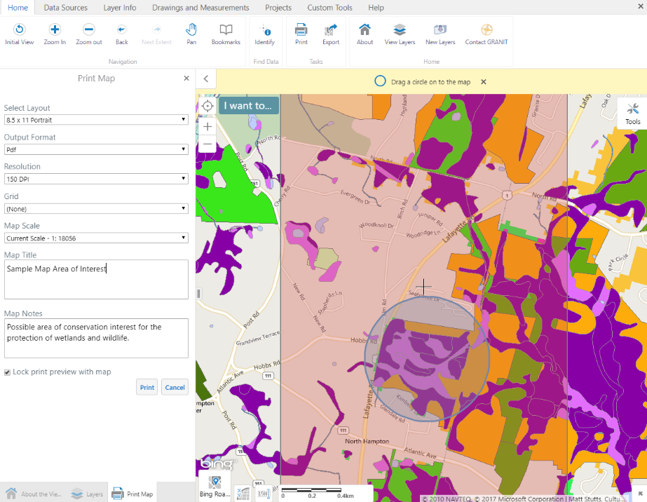
Identify areas of conservation interest in coastal NH.
Get Help
Need more assistance? New Hampshire GRANIT is available to answer questions. Just get in touch!